Explore the latest version of the most widely used microwave design tool in the world.
Find the latest features in the Pathloss 6 continuing evolution.
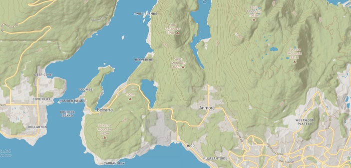
Get the LatestPathloss is compatible with many terrain data sources, and now with automatic download and GDAL (gdal.org) integration it is easy to use and gives you even more terrain data options.
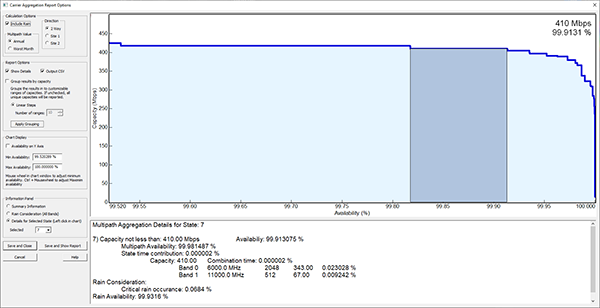
Terrain DataMultiband operation allows you to add an additional set of equipment to an existing link. Each band will contain a complete set of equipment parameters, antenna heights, a channel table, design frequency and polarization. The site information, path profile and all calculation options are common to all bands in the link.
More on Multi-BandPathloss 5.1, April 29, 2024 update is now available Pathloss 5.1 - Revision history. Please refer to your original license email for the link to update.
These step by step tutorials are intended to help a first time user get the program up and running.
Pathloss 5 - Where to Begin
Pathloss 5 - Import Sites from a Text File
Pathloss 5 - Import Links from a Text File
Pathloss 5 - Understanding Pathloss 5 options and settings
Pathloss 5 Technical documents
These sections contains help concerning installation, maintennace and other operational issues.
Pathloss 5 - Installation and Maintenance (Opens as a PDF file)
Pathloss 5 - Changes in Interface from Pathloss 4
Pathloss 5 - Known Issues
Sources and instructions for using terrain data with Pathloss 5.1
For over 30 years we have been developing and refining the Pathloss program. Beginning with Version 1.4 in the late 1980s, Pathloss was quickly adopted by Equipment Manufactures, Telecommunications, Coordination and Engineering Service Providers worldwide.